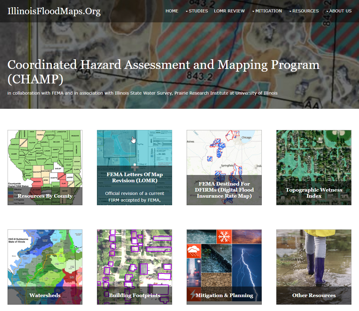
In the Water Survey's Coordinated Hazard Assessment and Mapping Program (CHAMP), staff assess local flood hazards, identify high-risk areas, and engage community partners to inform, educate, and empower others to take action in preventing losses from natural hazards.
Floods are the most common natural disaster in Illinois, accounting for well over 90% of declared disasters. Flooding in certain areas is also predictable, yet too many Illinois citizens suffer from personal and economic losses due to flooding of homes and businesses. The first step to reduce these losses is to accurately identify where flooding is likely to occur.
CHAMP is led by Glenn Heistand.

Research Areas
CHAMP researchers apply the tools and knowledge they glean from preparing flood studies and working with communities to identify research needs. Projects include trends in peak flows, effects of urbanization, stormwater management, mitigation, climate change impacts, and detailed hydrologic and hydraulic modeling.
")
")


Natural Hazard Mitigation Plans
A comprehensive Natural Hazard Mitigation Plan (NHMP) has proven to be effective in reducing or eliminating risks to human life and property from natural hazards. Mitigation plans are the basis for FEMA funding for community projects that reduce exposure to flood losses. The plans provide valuable information and are enhanced when they include risk assessment determined by FEMA’s Hazus software, for which ISWS staff have specialized training. This powerful software couples current scientific and engineering knowledge with the latest Geographic Information Systems (GIS) technology to produce localized estimates of hazard-related damage and economic losses for buildings and infrastructure from earthquakes, hurricanes, and floods. Hazus experts can prepare digital data, detailed maps, and reports of the potential impacts of natural hazards. The CHAMP team has worked with University of Illinois Extension to provide Hazus data for mitigation planning in Illinois counties.

")

Flood Hazard Studies
The CHAMP team performs hydrologic and hydraulic studies, meeting state and federal standards to update county Flood Insurance Rate Maps (FIRMs). This work is performed for the Federal Emergency Management Agency (FEMA) and under contract with communities or other agencies. Staff strive to provide the most current flood hazard data and facilitate communication with engineers, community officials, and the public.
The team also maintains an online map which shows the locations where publicly funded studies (FEMA, state, local government) are being conducted. Engineers can consult this site to identify work in progress.
illinoisfloodmaps.org/destined-dfirms.aspx
Map Revision
Flood hazards are not static; maps require continual updating.
CHAMP staff also review applications for Letters of Map Revision (LOMR) and Conditional Letters of Map Revision (CLOMR) to modify FIRMs as part of FEMA’s LOMR Delegation Program. Map changes may be necessary when any measures are taken that may affect the hydrologic or hydraulic features of a river or stream. Engineers and hydrologists on the CHAMP team consider applications in Illinois and offer consistent and efficient analyses and mapping services to community officials and stakeholders.
To date, CHAMP has produced updated, digital FIRMs showing flood-prone areas in nearly all Illinois counties. These maps show the areas—nearly 12% of the state—that have a 1% chance of inundation in any given year. FIRMs require continual reassessments due to changing land uses and climate and as new data become available. CHAMP staff partner with the Illinois Department of Natural Resources, Office of Water Resources (IDNR/OWR), and FEMA to identify Illinois communities that would benefit from updated engineering analyses and mapping services.

Community Engagement
FEMA’s Risk Mapping Assessment and Planning (Risk MAP) Program provides high-quality flood maps and information, tools to better assess flood risks, and planning and outreach support to communities to help them take action to reduce their flood risk. With the ultimate goal of reducing flood damages, CHAMP staff provide materials and tools to help achieve this objective.
CHAMP is executing FEMA’s plan that calls for ongoing engagement with state and local officials and watershed stakeholders through
a series of meetings. The process begins with Discovery at the watershed level. Data are compiled and then a Discovery Meeting is held to discuss flood issues and technical data needs with officials in communities that lie wholly or partially within the watershed. Local floodplain managers, community engineers and planners, developers, watershed groups, and other stakeholders participate in the meetings, providing additional information and discussing flood issues, technical data needs, and the status of mitigation planning in the watershed. Watershed reports, maps, and data are available at illinoisfloodmaps.org/watersheds.aspx.

Digital Products
Detailed hydraulic studies can inform a wealth of powerful digital mapping products. Using high-resolution digital terrain models, digital depth grid data can be produced and used to display the depth of flooding for various frequency events (e.g., 10, 4, 2, 1, and 0.2% frequency), the frequency of flooding at a given location in the floodplain, and/or the chance of inundation over 30 years. When coupled with stream gage data and National Weather Service forecasts, the inundation areas for a given flood stage can be mapped. These data are shared with project stakeholders for making emergency management decisions. The Changes Since Last Firm (CSLF) database is another product available to track changes in FIRM data and updated study information.


