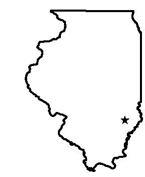
Olney
System Information
System Description
East Fork Lake is the only active source, and its water is piped directly to the treatment plant. Clarifiers limit plant capacity to 2.23 mgd. All other sources are unused and would need repairs before reactivation.
Satellite Communities and Water Districts
Kincade Acres Mobile Home Park, Noble, Parkersburg, Watergate Subdivision, and West Liberty-Dundas WD
Population Served: |
12000 |
County: |
Richland |
Watersheds: |
Little Wabash |
Water Source
| Name |
Type |
Stream |
DA (sq mi) |
SA (ac) |
Capacity |
Year Est. |
Est. 2010 Cap. (ac-ft) |
| East Fork Lake |
IR |
E Fk Fox R |
10.4 |
930 |
12460 |
1978 |
12205 |
1989 Study: |
50-year drought yield sufficient at present level of water use. |
USGS Gages: |
No data available |
Developments since 1989:
Volunteer measurements of lake depth have shown that reservoir sedimentation has been minimal since the 1980s due to construction of grass waterways and buffer strips upstream. There are plans to double the capacity of the 2.23 mgd treatment plant in the next few years.
Notes and Terminology
Vulnerability Report
Choose another Community

