Internet Map Services
GIS is ever evolving. The current trend is to share map and database information through internet applications that allow basic map navigation, point and click access to layer information, downloading of layers, and other analyses. Below are links to a few Internet Map Services (IMS) of interest to the public.

- Illinois Rivers Decision Support System
- Authors: ISWS

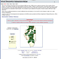
- Illinois Streamflow Assessment Model
- Authors: ISWS

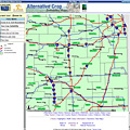
- Illinois Alternative Crops
- Authors: ISWS

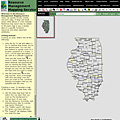
- Resource Management Mapping Service
- Authors: UI ACES for IDNR and IEPA
