Rock River Region: Water Supply Planning
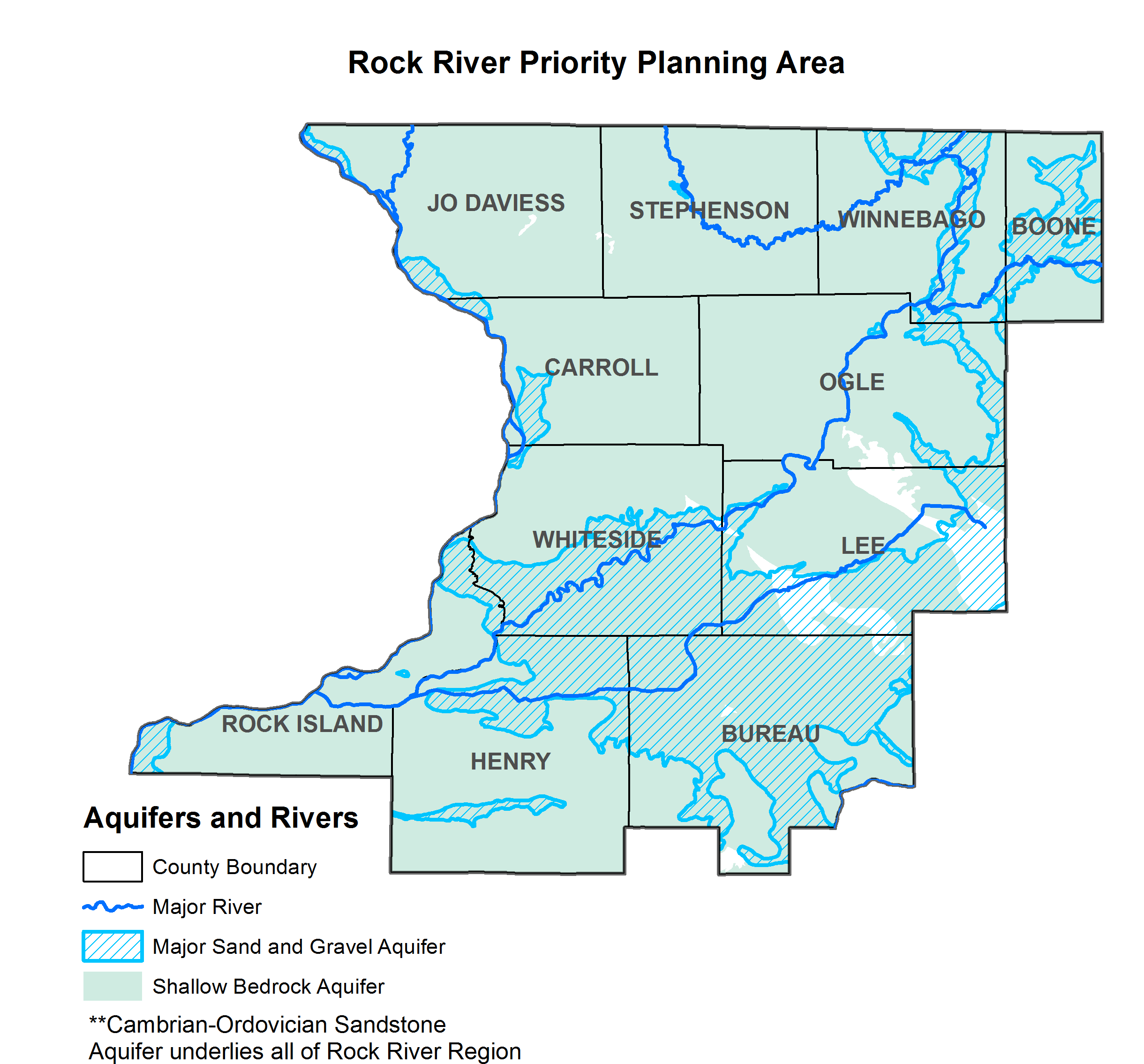
The Water Survey has completed a water supply study of the Rock River region, which includes Jo Daviess, Stephenson, Winnebago, Boone, Carroll, Ogle, Whiteside, Lee, Rock Island, Henry, and Bureau counties. Most of the region can use groundwater resources from two major aquifer systems: (1) sands and gravels, primarily in the Green River Lowlands; and (2) the Cambrian-Ordovician sandstone aquifer system, which ranges widely in depth in the region. Some smaller water supplies in this region also draw from shallower Silurian-Devonian or Galena Platteville bedrock.
Please note that all analyses on this page and associated story maps are under review by the regional planning committee and should be considered as provisional.

Groundwater Resources Applications
Supply and Demand Analysis
The ISWS has calculated supply and demand at a county level for the entire Rock River Region. The above application breaks down demand based on type (public supply, industrial, agricultural, power generation). Supply is broken into source: groundwater and surface water.
The ISWS has also calculated supply and demand for the Cambrian-Ordovician Sandstone Aquifer for the entire state of Illinois. The above application explores those estimates.
Groundwater Risk Story Map
The above images redirects to a map showing risk at different levels in the Rock River Region. This includes risk for sandstone supply and municipal supplies where shallow aquifer transmissivity is limited.
 Photo credit: Vlad Iordache
Story Maps
Rock River Region Publications
- Water Demand in the Rock River Water Supply Planning Region, 2010-2060
- Changing Groundwater Levels in the Sandstone Aquifers of Northern Illinois and Southern Wisconsin: Impacts on Available Water Supply
- Karst of the Driftless Area of Jo Daviess County, Illinois
- Rock River basin streamflow assessment model
- Groundwater Conditions of the Principal Aquifers of Lee, Whiteside, Bureau, and Henry Counties, Illinois
- Ground-water contamination by volatile organic compounds: site characterization, spatial and temporal variability

