Principal Investigators: William P. White, Jeff Boeckler
Project Staff: John Beardsley, Jon Rodsater, Long Duong
Sponsor: Illinois Environmental Protection Agency
Project Period: June 2009 - December 2010

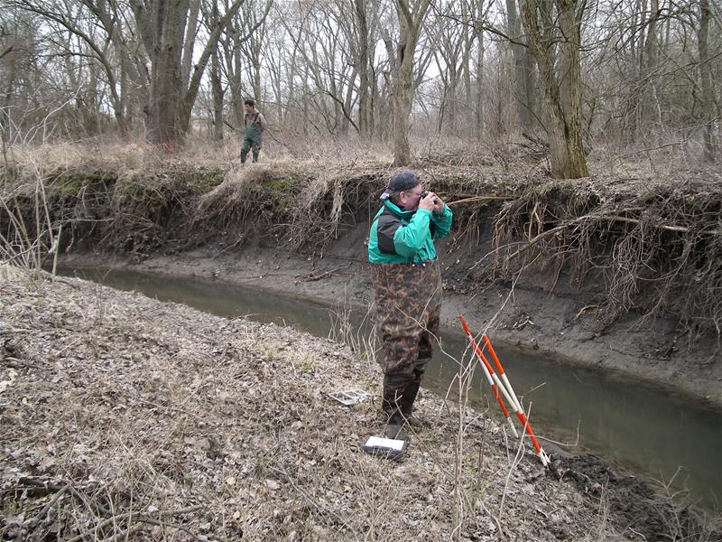
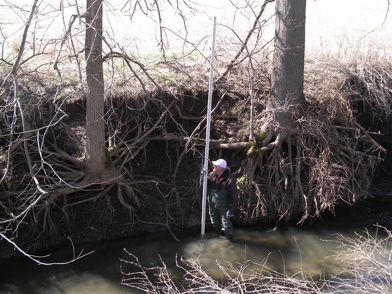
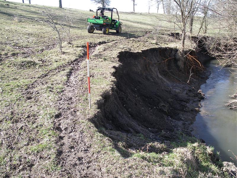
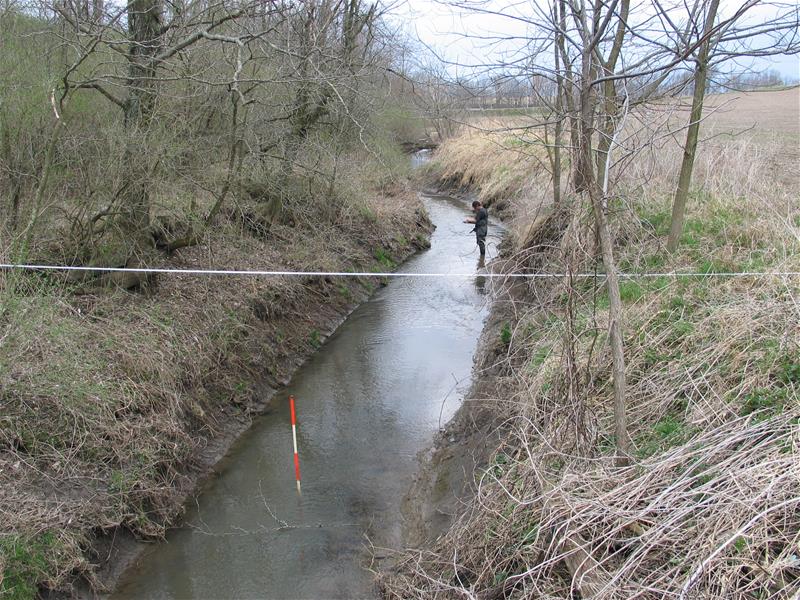
This project applied geomorphic assessment protocols to improve upon the current Total Maximum Daily Load (TMDL) process by simplifying the approach to modeling, meaningfully engaging stakeholders, and adding detailed implementation planning and project identification to the process. The revised approach offered cost savings and allowed local stakeholders to benefit immediately. The approach used acceptable models to calculate a TMDL for pollutants with state standards and practical, common sense planning to identify social/economic issues as well as scientifically-based information to prioritize in-stream water quality improvement locations, watershed Best Management Practices (BMP's), and expected load reductions.
*Please note that the Slough name has been changed to Italian Slough on current maps by a name change request. Older maps and reports in circulation may reflect the original name.

Findings to Date:
The assessment report describes geomorphologic and habitat assessment information and concludes that unstable stream channel segments exist in the majority of the assessment area. The assessment clarifies the need to target in-channel restoration and watershed resource management in much of the assessed area.

Project Documents/Publications:
White, W. P., J. Beardsley and J. Boeckler, 2009, Prairie Creek, Hancock County, (La Moine River Watershed) and Indian Creek and Italian Slough, Knox County, (Spoon River Watershed), Quality Assurance Project Plan, Prepared for the Illinois Environmental Protection Agency, Section 319 Nonpoint Pollution Control Program, Springfield, Illinois
White, W. P., J. Beardsley, 2009, In-Channel and Near-Channel Geomorphic and Biological/Habitat Assessments for IEPA 303(d) Listed Stream Segments in Indian and Italian Creeks in the LaMoine River Watershed and Prairie Creek in the Spoon River Watershed, Illinois State Water Survey, Institute of Natural Resource Sustainability, University of Illinois, Champaign-Urbana, Ill, submitted to Illinois Environmental Protection Agency, Springfield, Illinois
Related Publications:
Load Reduction Strategy and TMDL Final Approved Report, Indain Creek, Italian Slough, and Prairie Creek, 12/16/2010, Illinois Environmental Protection Agency, Springfield, Illinois.
